
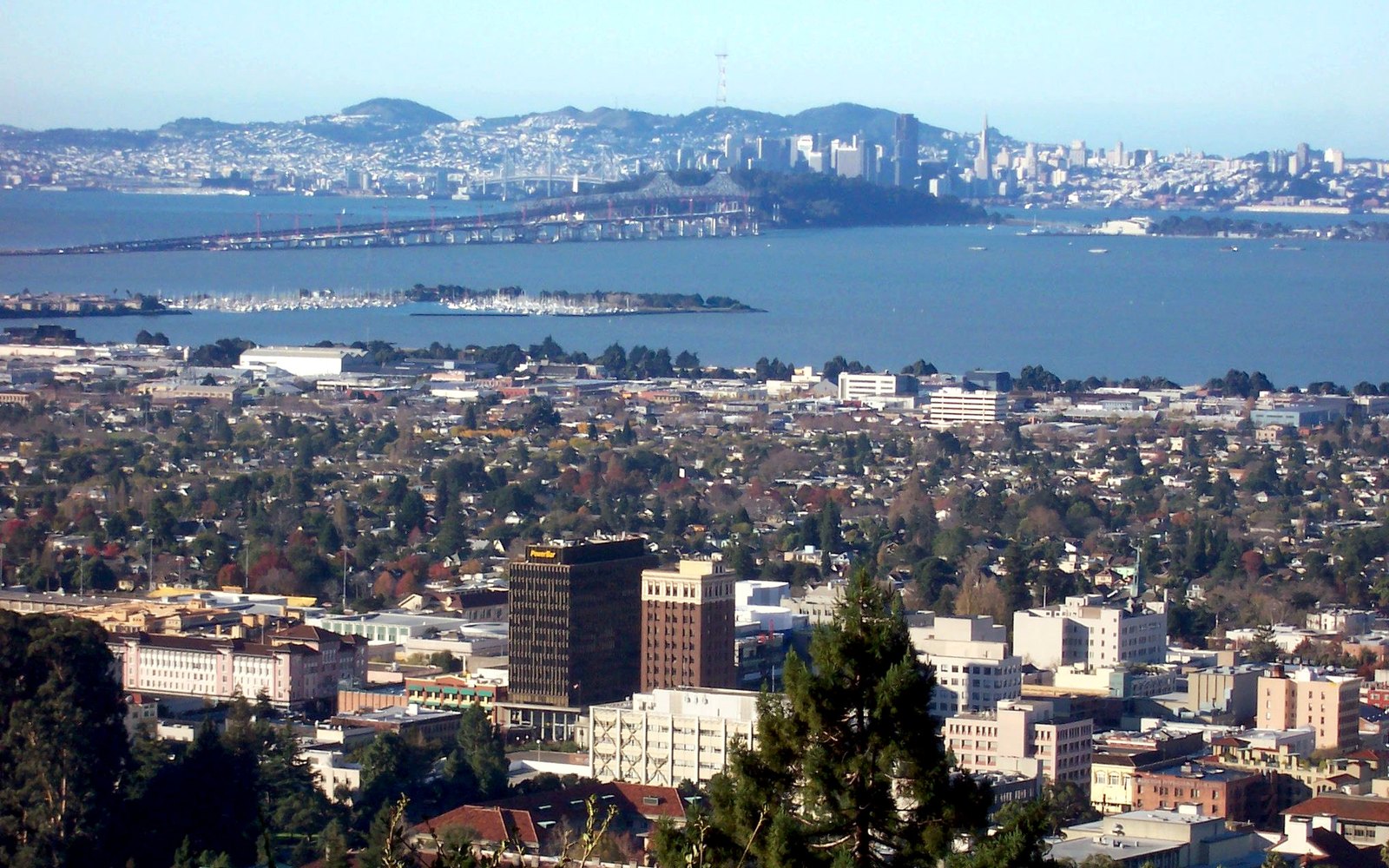
Berkeley · Overlook
Grizzly Peak
BerkeleyOpen the map
Outdoors
Redwood canyons, cattle ridges, a summit, and more than one kind of water. The East Bay Regional Park District is the operating system.
What we actually drive for
Grizzly Peak, Nimitz Way, the lake, the redwoods. Every card opens the map or the park page.
Berkeley · Overlook
BerkeleyOpen the map
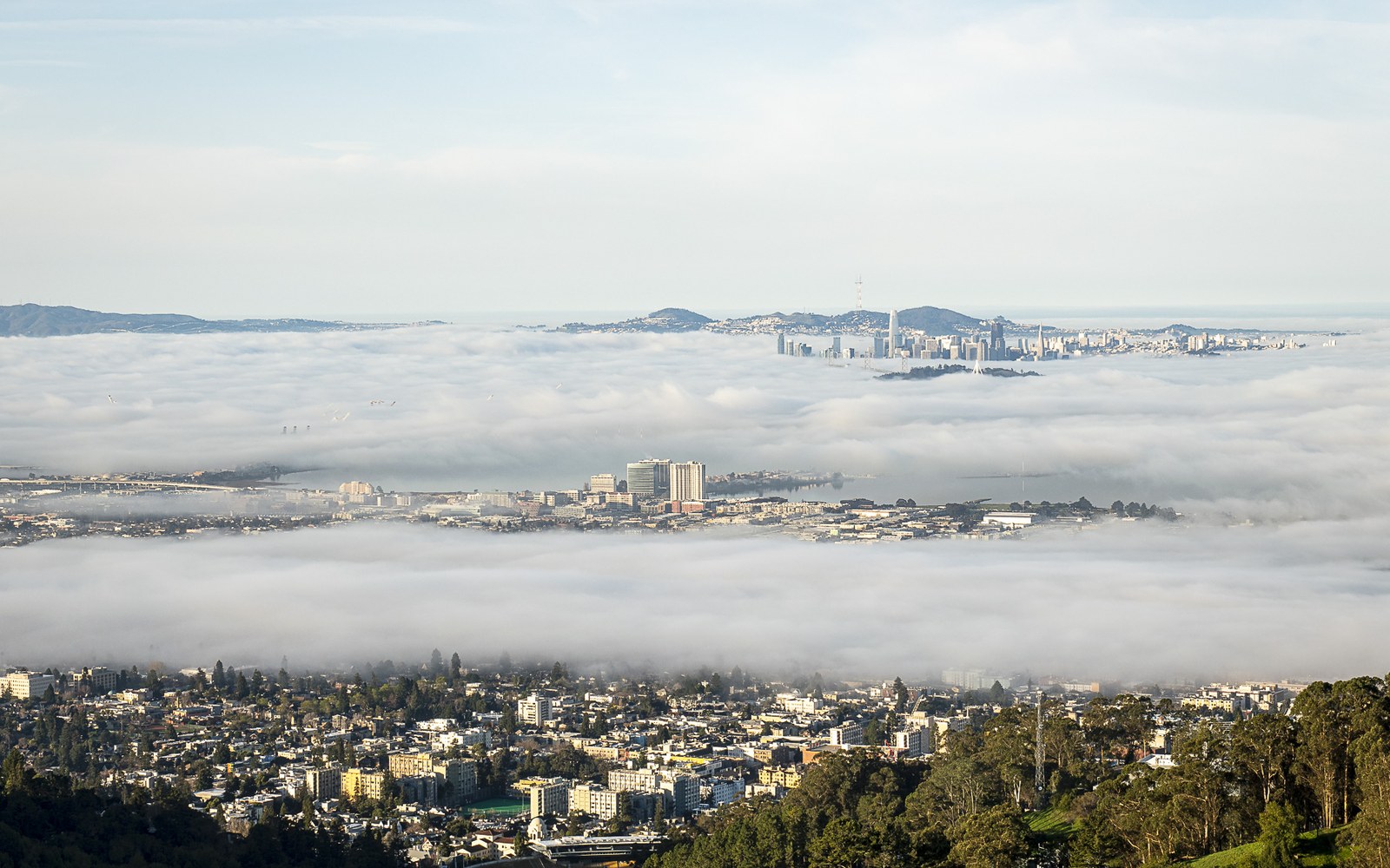
Berkeley · Lookout
BerkeleyOpen the map
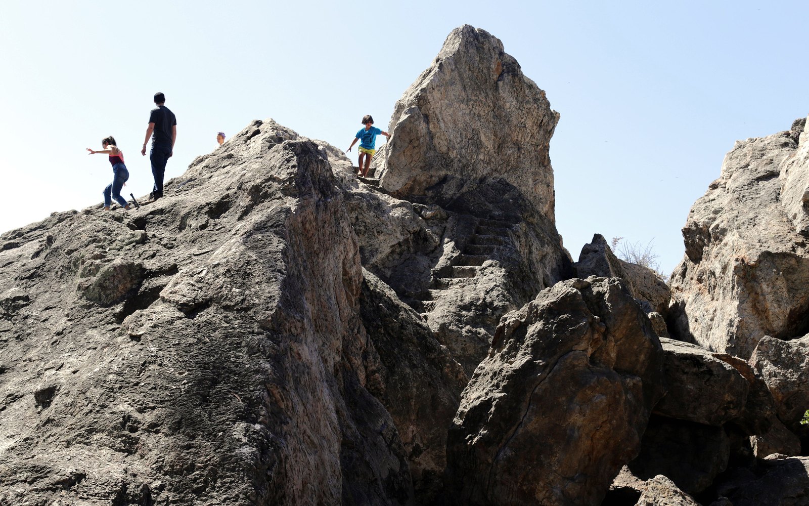
Berkeley · Rock park
BerkeleyOpen the park page
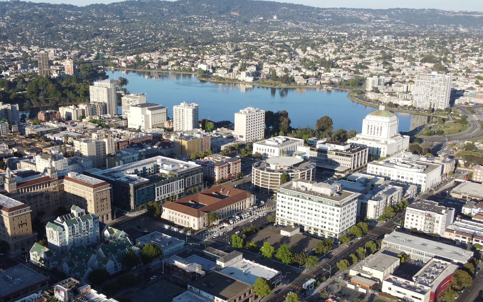
Oakland · Lake
OaklandOpen the map
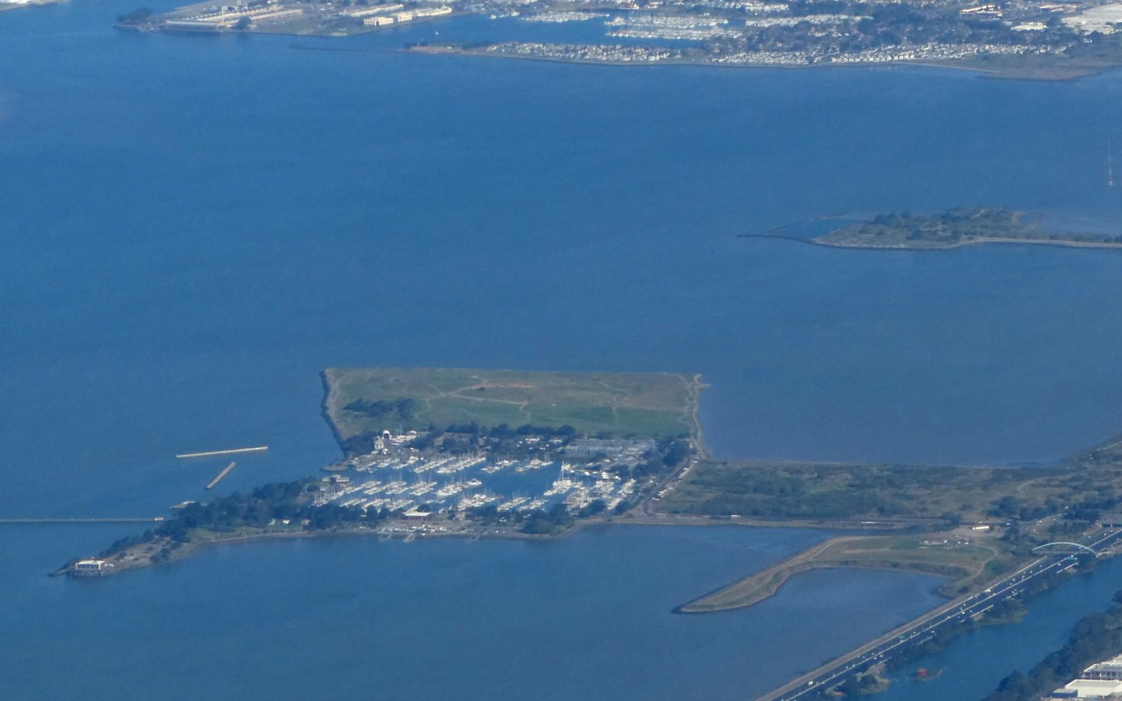
Albany · Shoreline
AlbanyOpen the map
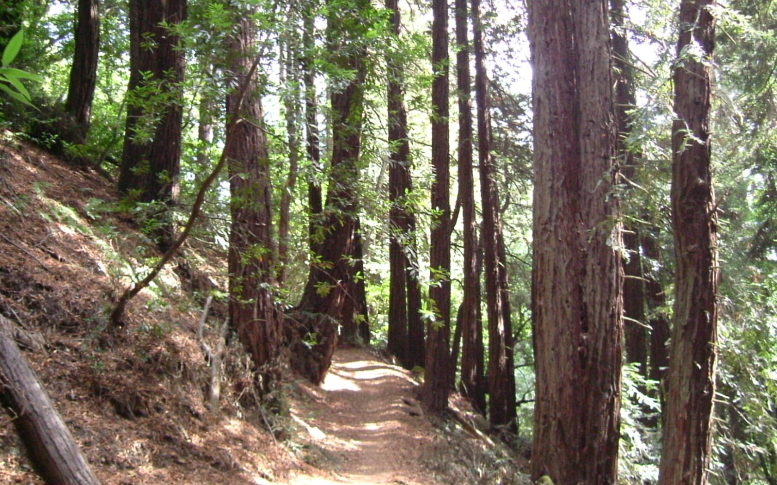
Oakland · Hike
OaklandOpen the park page
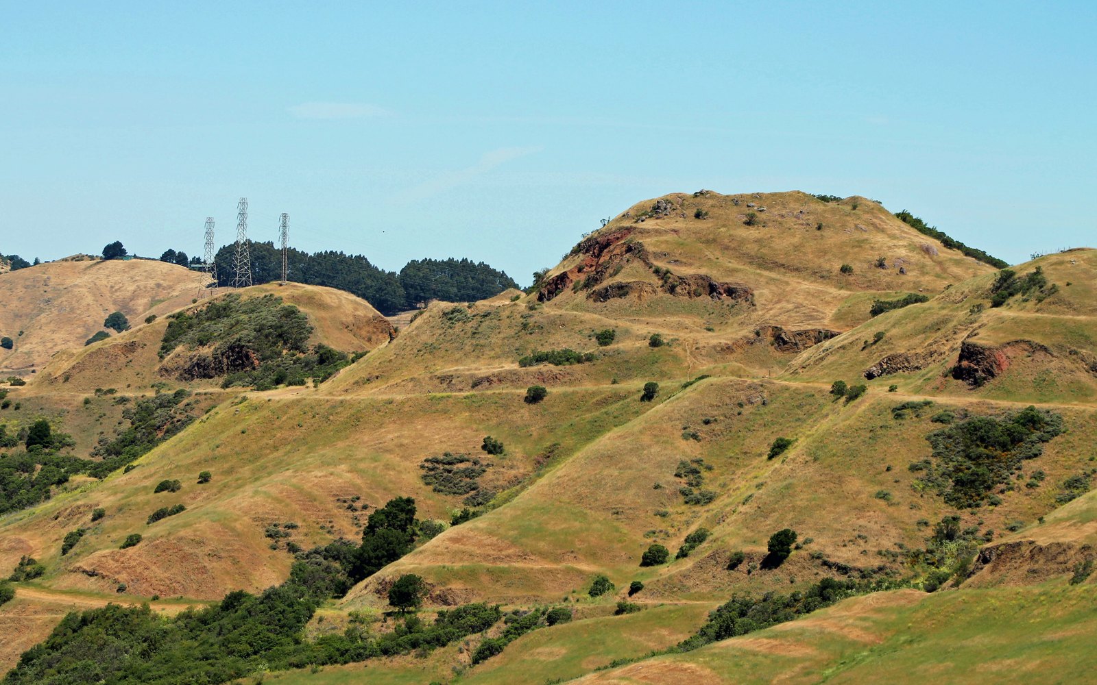
Oakland · Hike
OaklandOpen the park page
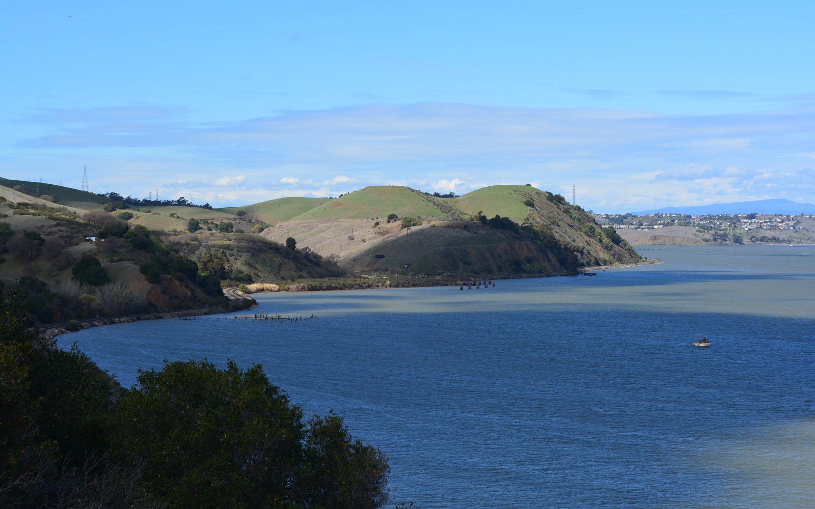
Martinez · Overlook
MartinezOpen the park page
Trails
Redwoods, a famous mountain, cattle ridges, and a shoreline when you want the flat version.
OpenOutside
A week of East Bay outdoors that does not repeat the same park.
OpenTwo days
A Saturday and Sunday that stay on this side of the bridge, unless you choose otherwise.
OpenBring the dog
Trails, shore paths, and downtowns where a dog is a normal Saturday accessory.
OpenOn the water
Island, marina, estuary, strait, and Delta. The East Bay has more than one waterfront.
OpenA plan
A standing plan for the next clear Saturday, built from places that do not expire.
Openbridge
The bridge East Bay residents actually use. The eastern span’s white tower is the front door between Oakland and San Francisco.
Openbridge
The orange bridge is not in the East Bay. It is still part of an East Bay weekend: a ferry, a north crossing, or a long golden walk if you plan it.
Openwaterfront
Oakland’s ferry landing, working waterfront, and weekend boardwalk.
Openwaterfront
Beaches, a bay trail, and the island’s long edge facing San Francisco.
Openwaterfront
Boats, a bay trail, and the ferry’s neighborhood.
Openpark
A point of pier, meadow, and bay that feels farther away than it is.
Openpark
Berkeley’s hill park: lake, trails, steam train, and a botanical garden.
Openpark
A redwood canyon in the Oakland hills, five minutes from being unbelievable.
Openpark
A reservoir park for fishing, loops, and a marina in the Castro Valley hills.
Openpark
Rolling cattle country between the Lamorinda valleys and Martinez.
Openpark
The mountain in the middle of the view, with a summit that explains the whole map.
Openpark
Ridge trails and a waterfall between Danville and the Moraga side.
Openpark
The open ridge between Walnut Creek and Concord.
Openpark
Grass hills and ranch trails on Walnut Creek’s south edge.
Openpark
Former coal and sand mines in the hills above Antioch.
Openpark
The reservoir in the golden hills on the Antioch side.
Openpark
A wide valley of trails east of Mount Diablo, near Brentwood.
Openpark
Livermore’s reservoir: swimming, camping, and a long shoreline.
Openwaterfront
The San Joaquin riverfront and Antioch’s civic view of the water.
Openwaterfront
The Carquinez waterfront below the county seat.
Openwaterfront
Pittsburg’s spot on the river, next to the old downtown.
Openwaterfront
A bay marina and shoreline park just south of Oakland.
Open